Cascade Valley
Metro Park
Nestled between downtown Akron and the city of Cuyahoga Falls, Cascade Valley Metro Park is a tranquil oasis with an industrial past.
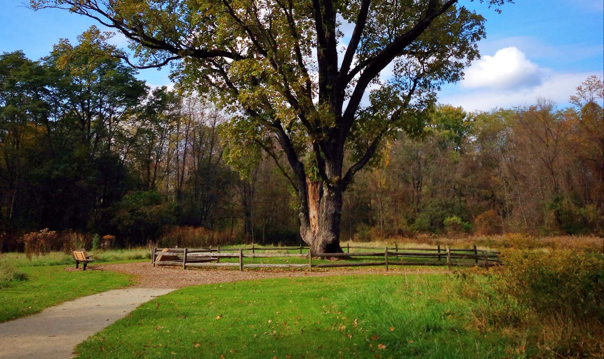
In 1833, hydraulic engineer and entrepreneur Eliakim Crosby built the Cascade Race, a channel that powered mills and businesses along the Ohio & Erie Canal and helped transform Akron into a boomtown. Years later, Crosby built the failed Chuckery Race, traces of which can still be seen today.
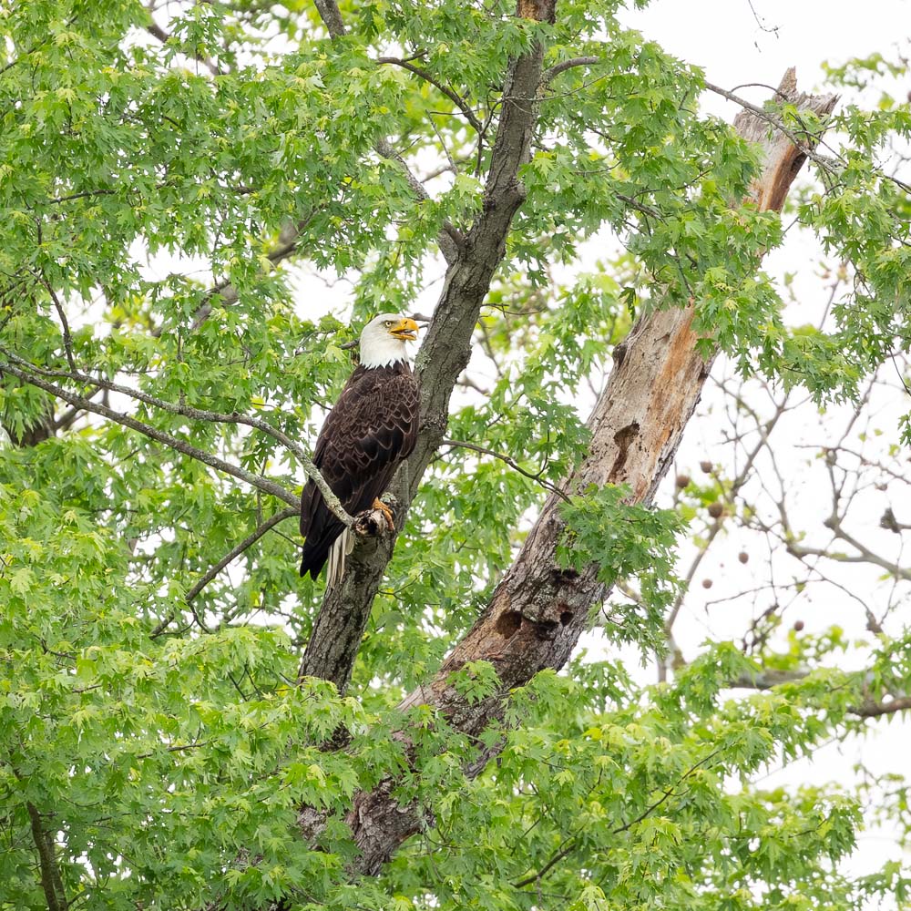
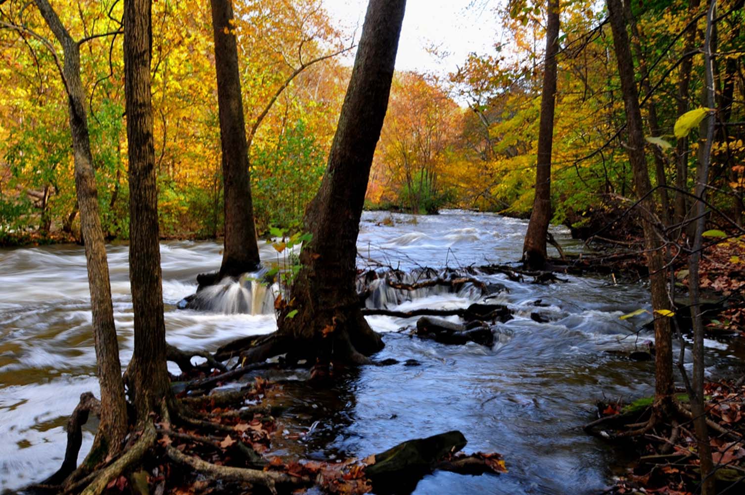
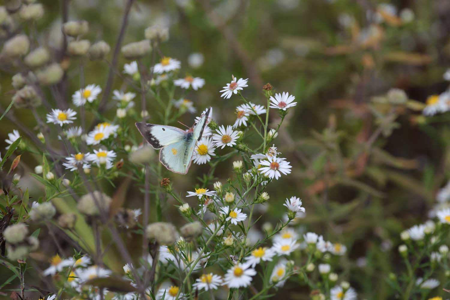
Just as spectacular as the park’s history is its wildlife. Fish here are prey for belted kingfishers and great blue herons. Beautiful white trillium grows in the floodplain woods each spring beside wild ginger and several types of violets, and summer and fall wildflowers illuminate the landscape. Located in the valley’s pre-glacial bedrock canyon are steep-cut ravines indicative of the Cuyahoga River’s tributary streams. A canopy of oak, American beech, sassafras, and black cherry trees provides cover for smaller shrubs.
The park’s newest area, Valley View, was acquired in 2016 and has undergone extensive restoration efforts to return the former golf course to nature. Where only 100 species called the golf course home, nearly 1,000 species of plant and wildlife now thrive in this restored space.
Explore the park
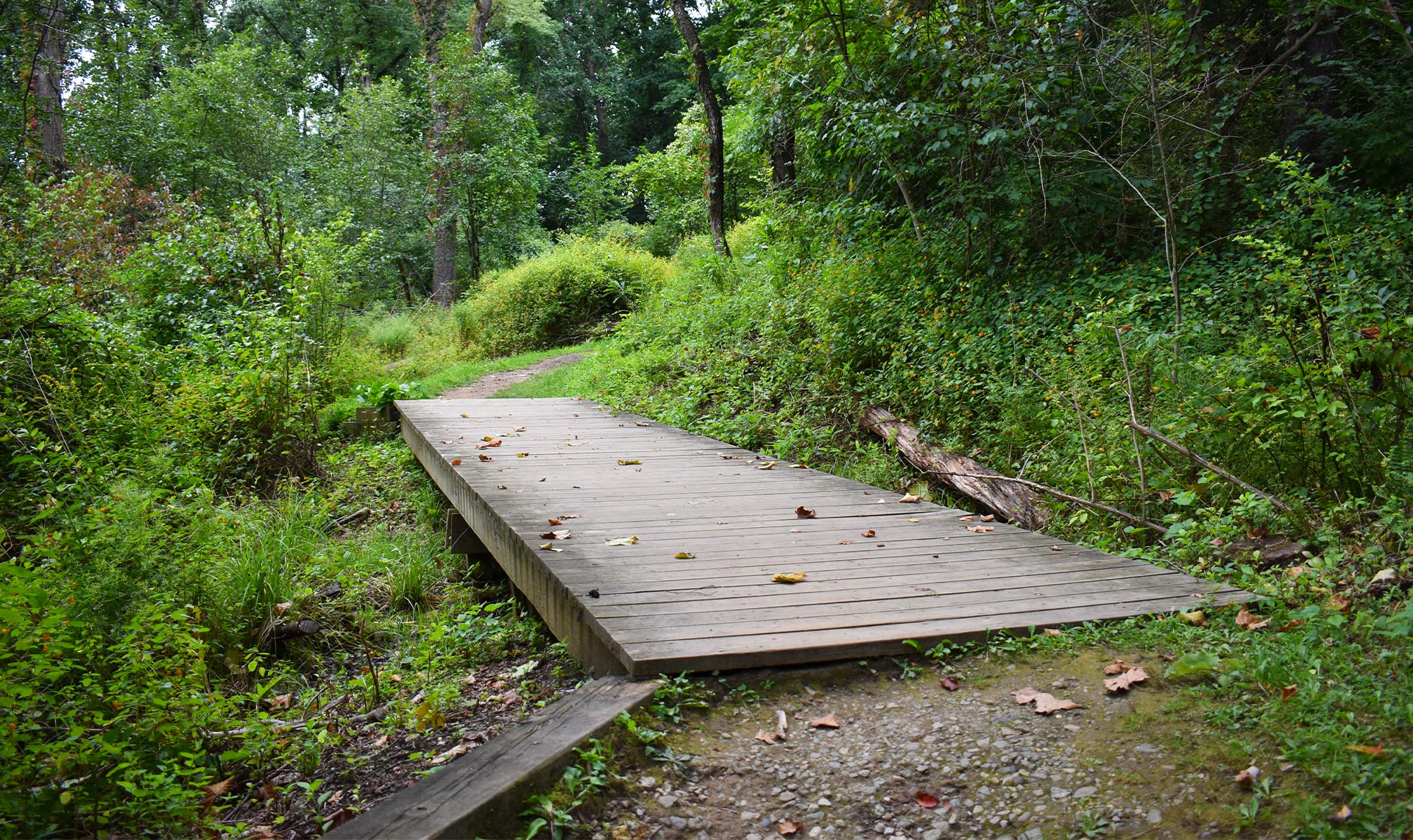
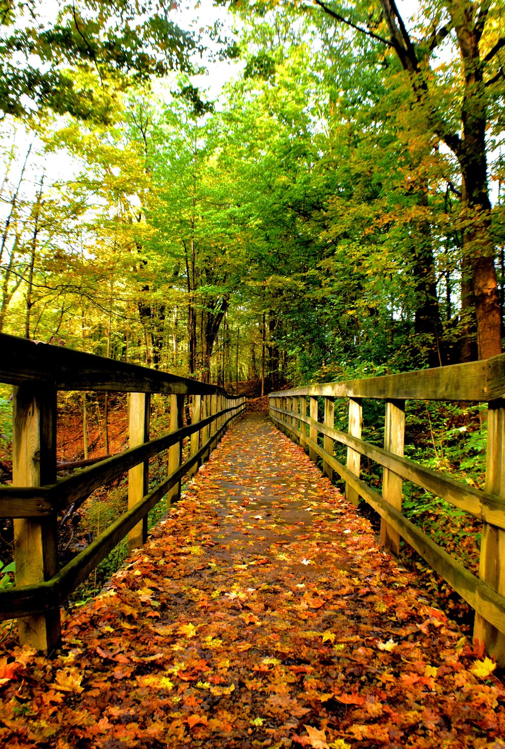
Cascade Valley Metro Park is an enormous property with many trailheads and park areas. To help you navigate, we have broken down each area’s trails, activities and amenities below. All areas are open 6 a.m. to 11 p.m., unless otherwise noted. We have also provided a key to help you find the perfect trail.
Trail Classes: A = Multipurpose | B = Accessible* | C = Basic | D = Primitive** | E = Bridle Trail
Ratings: 1 = Easy | 2 = Moderate | 3 = Difficult
*Flat, easy trail or section with asphalt or crushed limestone surface. ** Rugged and challenging with uneven surfaces and steep, narrow routes
Valley View Area
- A – Multipurpose
- B – Accessible*
- C – Basic
- D – Primitive**
- E – Bridle
Prather trail is a scenic hike through an area that once was home to a unique 1940s integrated neighborhood. The Prather family, among others, were former residents. The trail marker’s music note is symbolic of the family’s love for music and the rhythm and soul of a special community of Akron residents.
- A – Multipurpose
- B – Accessible*
- C – Basic
- D – Primitive**
- E – Bridle
Chuckery Area
- A – Multipurpose
- B – Accessible*
- C – Basic
- D – Primitive**
- E – Bridle
This challenging loop trail begins at the Signal Tree before taking visitors by the Cuyahoga River, through meadow, across the parkway and uphill toward prairie before returning to the riverfront.
Overlook Area
- A – Multipurpose
- B – Accessible*
- C – Basic
- D – Primitive**
- E – Bridle
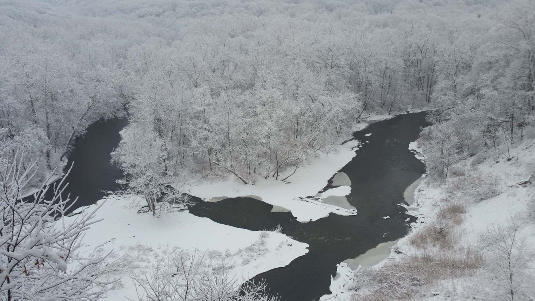
The flat, easy Overlook Trail provides spectacular views of the Cuyahoga River Valley and the river oxbow found 125 feet below the Overlook Deck. This trail is ADA accessible.
Oxbow Area
- A – Multipurpose
- B – Accessible*
- C – Basic
- D – Primitive**
- E – Bridle
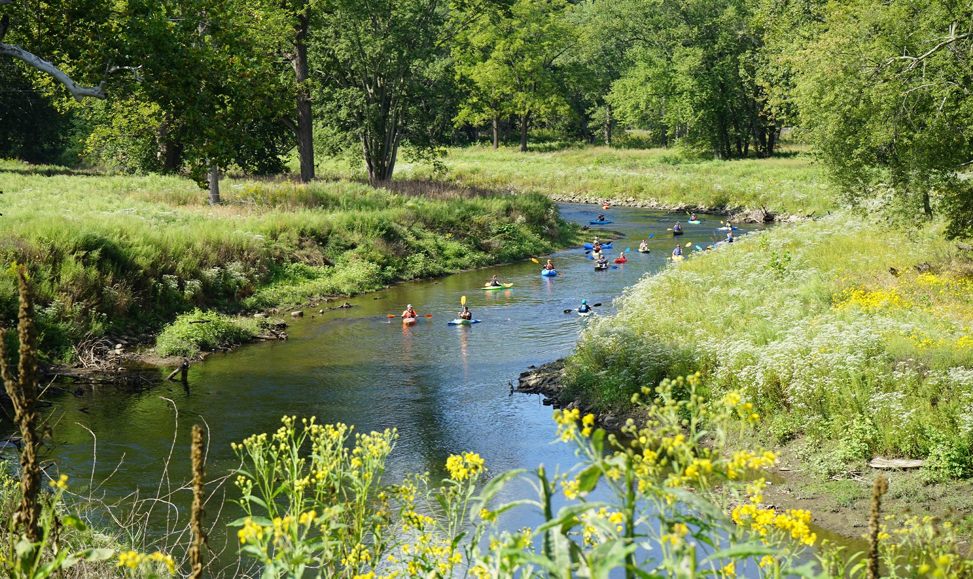
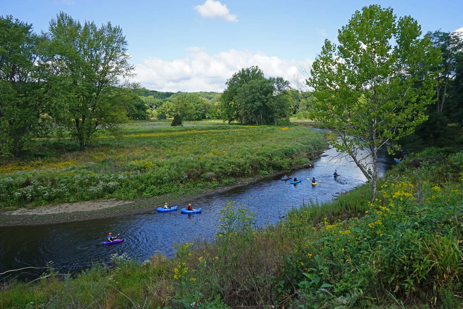
The moderate Oxbow Trail provides views of the Cuyahoga River along hilly terrain and with a steep uphill climb, you can connect to the Overlook Trail. Please note: the paddling access point here is for expert paddlers ONLY.

Schumacher Valley Area
- A – Multipurpose
- B – Accessible*
- C – Basic
- D – Primitive**
- E – Bridle
Named for Sherman and Mary Schumacher who donated 171 acres to Summit Metro Parks in 1968, Schumacher Valley remains one of the most rugged areas within Akron. Hike this trail to take a closer look at some of Summit County’s most pristine scenery.
- A – Multipurpose
- B – Accessible*
- C – Basic
- D – Primitive**
- E – Bridle
Connecting Sand Run Metro Park, the Towpath Trail and Cascade Valley Metro Park, Valley Link Trail is an excellent starting point for a stroll through the parks or a long-distance trek between several trails. The out-and-back distance is 5.6 miles.
Highbridge Trail
- A – Multipurpose
- B – Accessible*
- C – Basic
- D – Primitive**
- E – Bridle
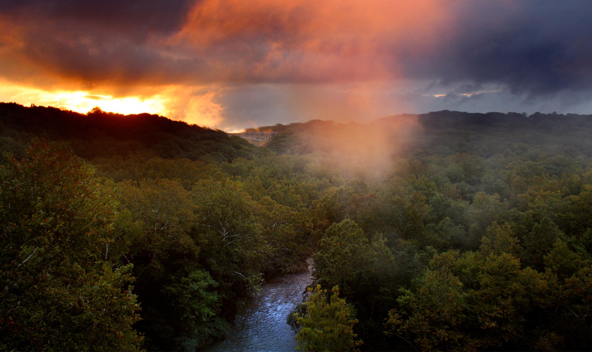
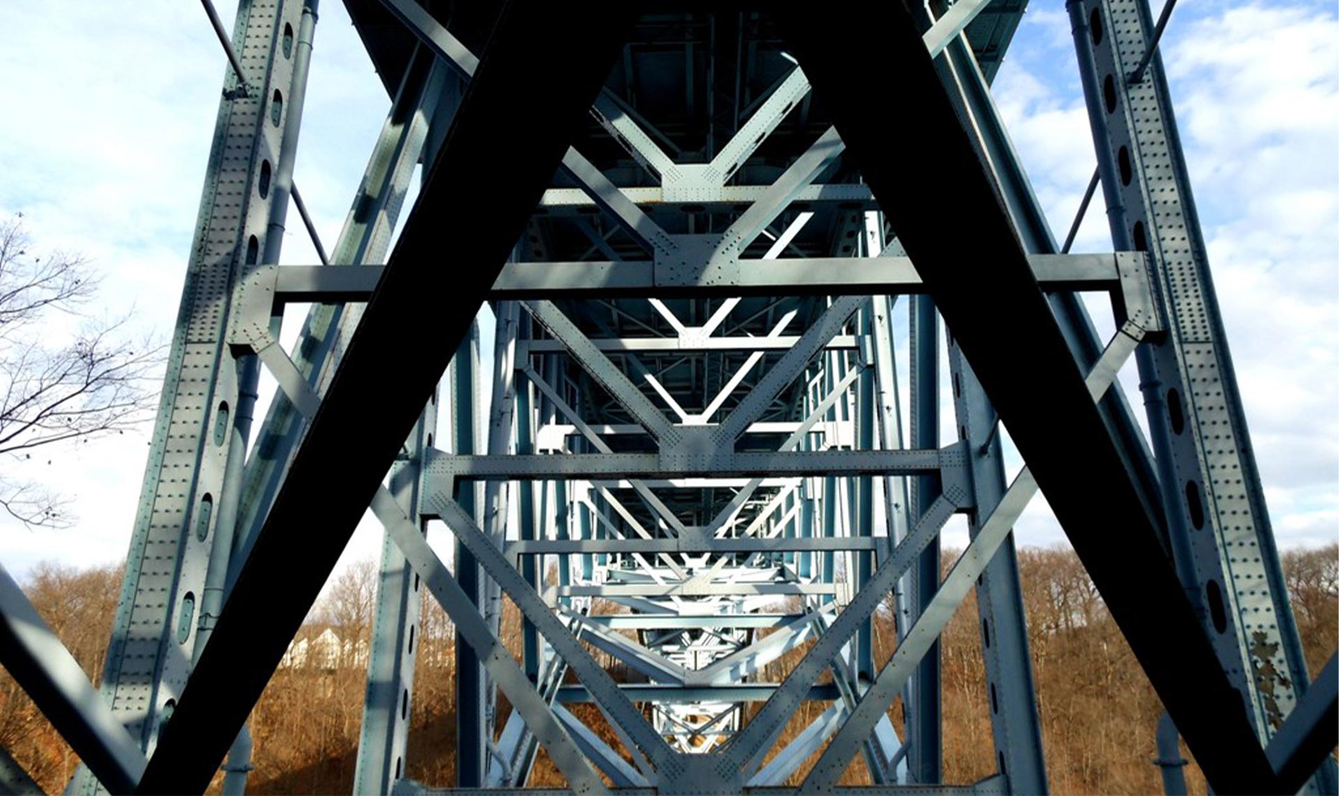
Highbridge Trail offers a moderately challenging hike on the other side of the Cuyahoga River from the Glens and Gorge trails. It spans between Cascade Valley Metro Park and Gorge Metro Park and is 3.2 miles round-trip.
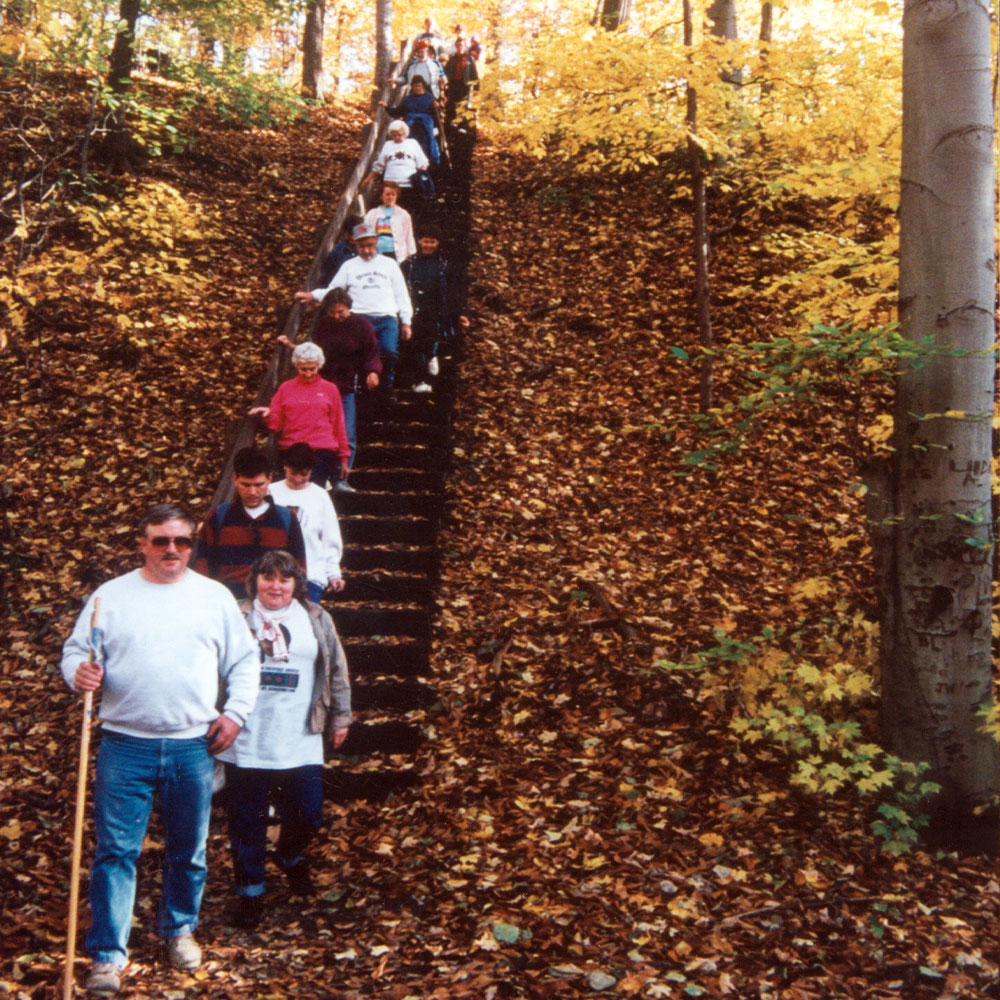
Photo Gallery
View photos of Cascade Valley Metro Park’s past and present, scenery and visitors.
Events in Summit Metro Parks
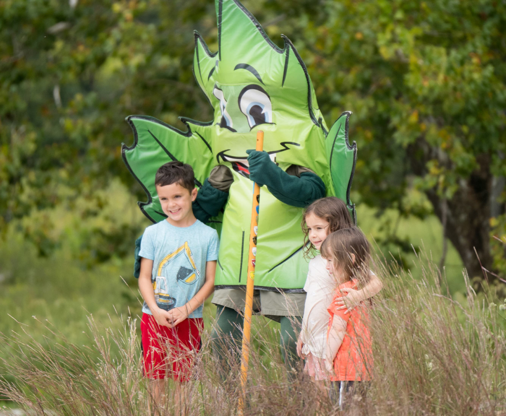
Come Join the Fun!
From kayaking to birdwatching, we’ve got you covered. Explore the calendar to find and register for upcoming events and programs.